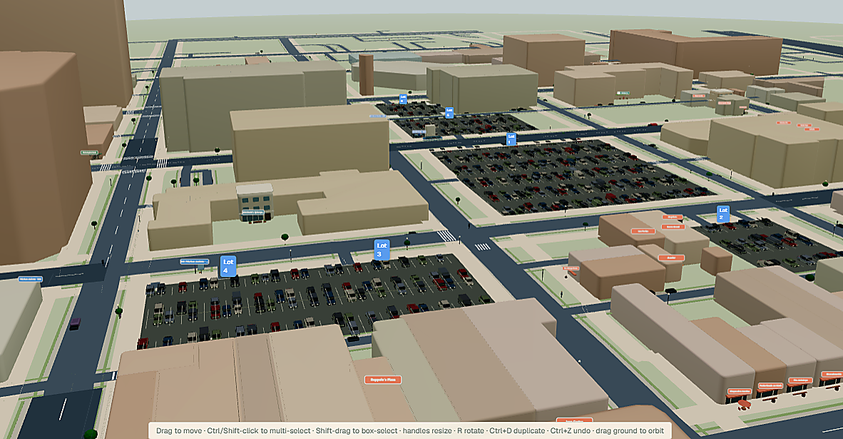
Existing parking condition
Before
Surface parking across four city blocks.
The 3D scanner view keeps the lots, streets, surrounding buildings, and nearby businesses visible as the starting condition.
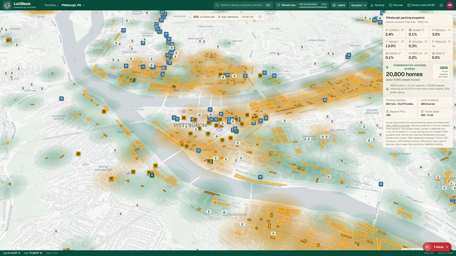
Parking opportunity scanner
Lot2Block maps surface parking with nearby buildings, streets, transit, and amenities. Select a site, review what is mapped around it, and compare a reuse scenario on the same ground.
The map is the product. Estimates are labelled, and scenarios are not forecasts or approvals.
One site, two readings
Both captures show the same modeled Pittsburgh area in Lot2Block. The first records the parking condition. The second shows one illustrative reuse arrangement created in the scenario editor.
The 3D scanner view keeps the lots, streets, surrounding buildings, and nearby businesses visible as the starting condition.
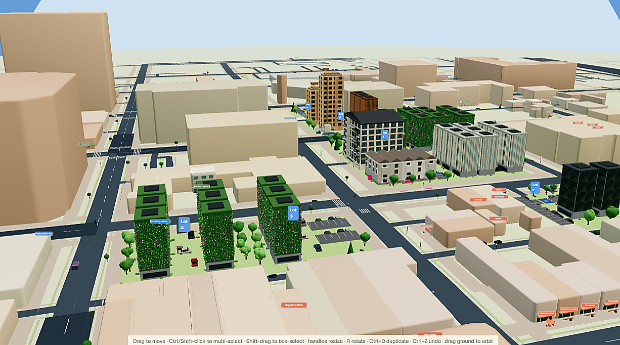
The scenario introduces buildings, planted space, and retained parking. It is an editable comparison, not an entitlement, approved design, or forecast.
How it works
Each step stays tied to the selected geography and names the source or assumption behind what appears.
The scanner opens the mapped parking inventory and available local context for that city.
Select a lot and review mapped geometry, parcel and transit context, nearby uses, and available evidence layers.
Switch between the current map and an adjustable 2D or 3D planning scenario. Treat every model output as a screen.
Walk-around in practice
These are actual Lot2Block product captures, not generated concept images. The city backdrop appears only where it was rendered by the app's configured 3D context.
 Philadelphia, PA · Walk-around 1 / 4
The app-rendered Center City context places the street, pharmacy, proposed building, and recognizable skyline in one pedestrian view.